Maps & Village Maps

Village Maps
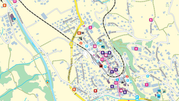
PDF maps of the villages within the Destination Gstaad are available here. They include information on tourist amenities and facilities.
Interactive Map
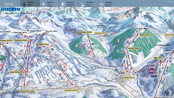
Our interactive map shows a wealth of details, like the locations of lifts and cable cars, cross-country tracks, tobogganing and hiking trails and mountain biking routes etc. Some information is linked to status displays, which are regularly updated and provide you with an up-to-the-minute overview. Select a topic in the legend to enable you to find the details you require more quickly.
Interactive map


